|
Getting your Trinity Audio player ready...
|
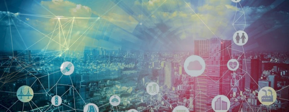
Geospatial technology is relatively one of the growing applications in the space of emerging technologies. Geospatial technology plays a vital role in our daily activities and is embedded in most of the systems and applications we use today. This technology is used In every activity from weather forecasting, traffic navigation, and route mapping to online delivery apps for ordering food, goods, and grocery. This article helps in understanding geospatial technology and its prominence in the age of digitalization and automation.
What is Geospatial Technology?
Geospatial technology systems broadly include mapping and surveying techniques like global positioning systems, geographic information systems, remote sensing, etc. this system has a unique ability to store, label, and analyze information using spatial systems. After its integration and usage of this technology in various industries, it is considered an important tool for planning, managing, and decision-making.
Why is Geospatial Technology important?
The evolution and changing dynamics of emerging technologies are playing a vital role in addressing and solving quests across various industries. And geospatial technology systems are one of the prominent pillars of emerging technologies listed ahead in the article.
Geospatial Technology Applications
Geospatial technology is integrated and accepted across various industries and below mentioned are a few examples of how this technology can advance and nurture different sectors.
1. Supply chain management:
The way logistics is operated today has changed immensely due to changes in makes, customer behaviors, customer preferences, and an increasing number of e-commerce sites. Using geospatial technology, businesses can build an ability to track and trace inventory and shipments, which can evolve the supply chain and reduce business expenses.
For instance, businesses are often required to deliver farm-fresh goods from fields to supermarkets, vendors, and suppliers across national and international borders. There is a chance of spoilage of goods at different stages of shipment. Using geospatial technology, the business can monitor and inspect the structure and liveliness of the supplied goods at different points of shipment. And in case the goods are unappetizing before delivery, businesses can identify the cause and detect the stage of shipment when it happens, and they can take preventive steps to stop it in the future.
2. Insurance:
Insurance companies rely on predictive models to detect risk and to identify a location that is bound to have a maximum risk. Identifying location and analyzing the predictions to find out how often the region is exposed to natural calamities and social factors like crime. And clustering these identified locations based on their predicted outcome helps in designing a defined set of policies with an optimal interest rate.
Geospatial technology helps in mapping high-risk areas based on demographics, geographical boundaries, historical data, etc. And it also helps in reducing the time spent on inspection after a mishap takes place by fastening the claim process through image verification of a particular location and measuring the percentage of buildings got affected due to a mishap.
3. Forestry and timber:
Using geospatial data, governments can take actions related to afforestation, monitoring environmental conditions, eco-life balance, etc. With geospatial remote sensors, we can detect the price of timber, availability of natural resources, sanctuary maintenance, etc. The technology also helps in mapping out important information like average rainfall rate, climatic conditions, highest temperature during different seasons, etc.
4. Health and human services:
Geospatial intelligence in the healthcare domain helps in providing services like location-based intelligence, identifying health trends, tracking the speed of infectious disease, visualizing healthcare data, etc. For instance, using location-based intelligence hospitals can trace and track the outbreak of a disease or emergency situation in a particular location. And it helps in asset management, regulatory compliance, workflow optimization, and prioritizing patient care and safety in advance.
Top Benefits of Geospatial Technology
1. Simplification of complex data to improve decision-making.
2. It helps in maintaining transparency in data for citizen access.
3. Improved communication during a crisis for better crisis management.
4. It helps in managing natural resources.
5. It helps the government in making better decisions.
6. It helps in discovering precautions before planning development changes in a community.
The Future Applications of Geospatial Technology?
1. Through the miniaturization of sensors, geospatial technology opens a new perspective on data collection. The miniature versions of existing systems from drones to mini satellites integrated with sensors are discovering data from places where the human eye is impossible to reach.
2. Geospatial technology plays a vital role in the new space revolution. Initially building, launching, and operating satellite systems is a time and money-consuming process due to their humongous size. And this myth is vanishing with the evolution of small sats, which are miniature versions of original satellites integrated with Geospatial Technology. These satellite units cost a few dollars and due to this reason enterprises, and startups are magnifying in numbers. And it’s revolutionizing space research.
3. Geospatial mappings for machines are gradually showing their prominence with increasing utilization of its automation. From self-driving vehicles to automated route mapping drones are wonders of geospatial technology.
Geospatial technology systems hold the future of how data is visualized or represented as industries become more and more relevant to this technology. As 80% of the data is utilized to optimize, industrial functions are extracted using geospatial technology. The digitalization and automation of industries that are solving quests and driving growth also rely on the same data extracted using geospatial systems. Hence gradually It will be an integral part of every technology opting for up-gradation.
If you need any help with idea validation, proof-of-concept, Data Science consulting, large-scale AI implementation, Big Data Engineering, or a creative solution for your Geospatial Technology data. You are at the right place.
Talk to our experts

1 Comment
The development of geospatial technologies is very helpful for the earth. Some of the benefits of geospatial technology for the environment.